Sorry this one's late; No internet yesterday. I took a lot of pictures today, so I'm actually suggesting you take a gander at the
Photobucket page.
While riding, I have a lot of time for introspection. Today, as I left Nebraska, I decided to stop in Council Bluffs, Iowa for this photo.
The funny thing is, I grew up my whole life hearing stories about how my ancestors crossed the great plains. Now, intellectually, I knew the great plains were quite lush, but the stories always conjured images in my mind of pioneers crossing vast wastelands. The reality is, they crossed some of the most prime real estate in the country in order to settle in a valley who's primary feature is a large body of extremely salty water. Apparently, they got to the vast wasteland and said, "Oh! don't want to cross that. Let's stop here." :)
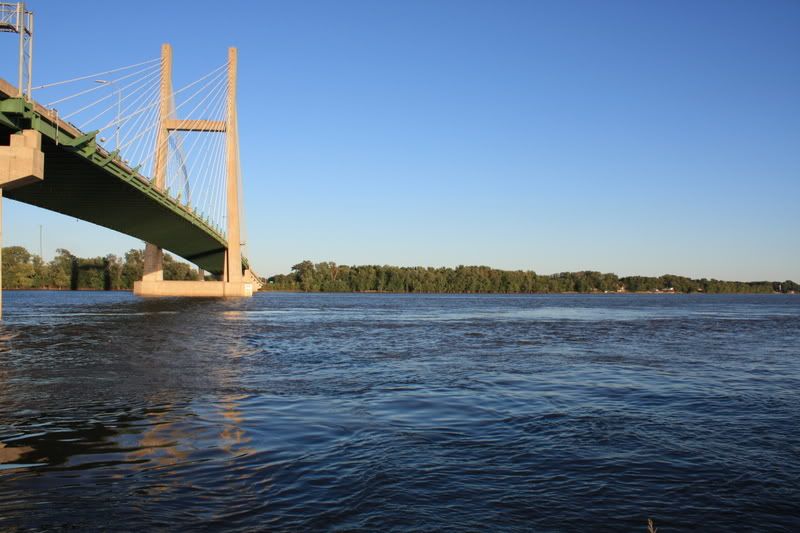
Moving on...I stopped today in Burlington, Iowa and put my stuff into my hotel room. I then ran out to my bike and took off for Nauvoo, Illinois. I raced the sunset the entire 38 miles, though I did stop to get a shot of my first view of the Mississippi.
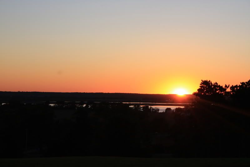
As you can see, I beat the sunset by a few minutes...
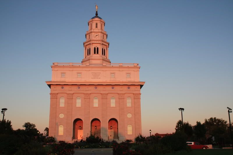
And here is why I was so all fired up to get there before sunset. This is a shot of the Nauvoo Temple as the sun is setting. It's quite spectacular I think. I wish I could have stayed a couple hours more in order to get a shot of the full moon rising behind it. For those of you who do not know, this is a temple for the Church of Jesus Christ of Latter Day Saints. It is built in an historic city for our religion.
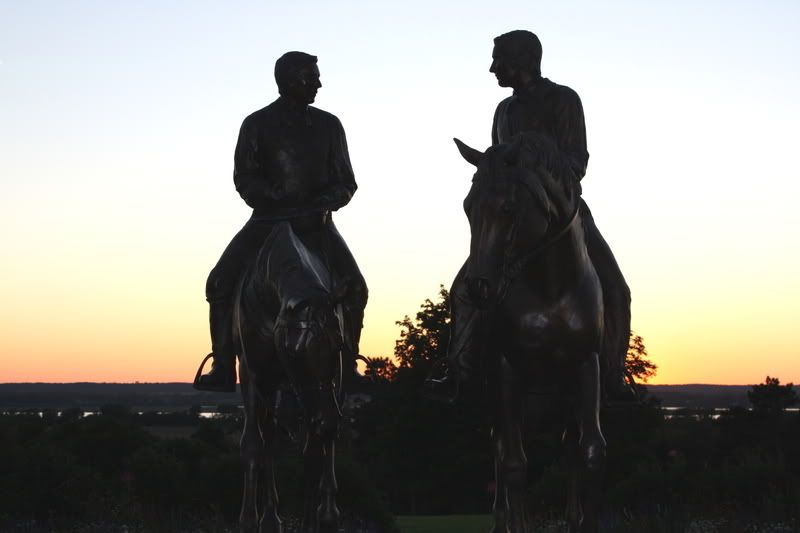
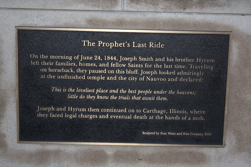
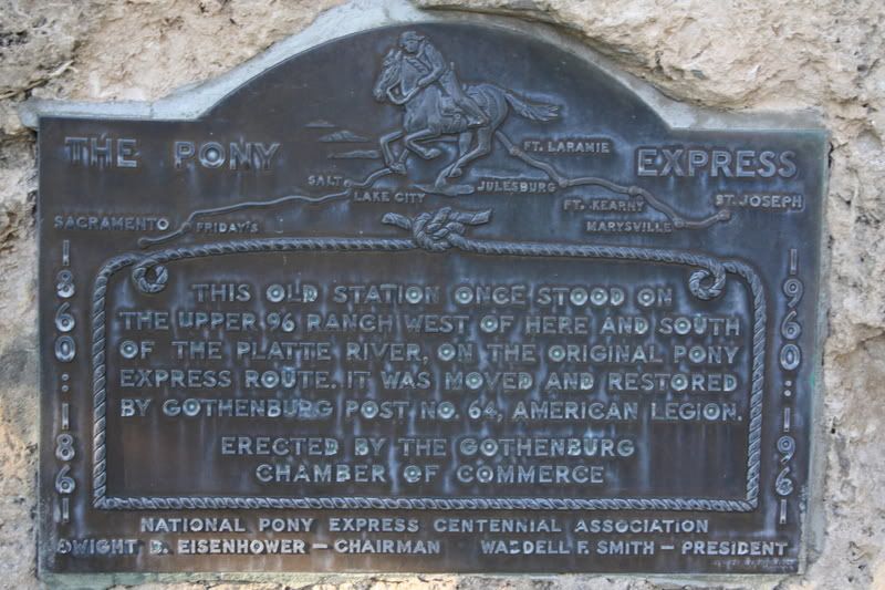
The following pictures are part of why it is so historic. The first is a statue of Joseph and Hyrum Smith, depicting their last ride out of Nauvoo before they were slain. The picture below actually explains it better, though it might be too small to read here, so I direct linked it to the photobucket pic.
After the temple, I went down into the old Nauvoo streets and took some more photos. Everything was closed for the evening, but that was okay, since I am not one to go in for all the touristy stuff, but prefer to look around on my own.
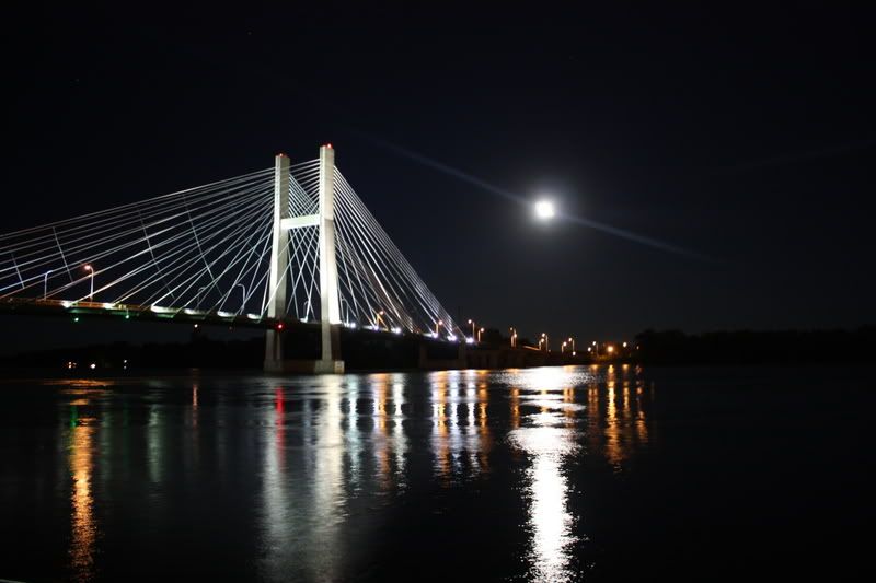
heading back to Burlington, I stopped to get another shot of the Mississippi; this time with the moon rising over the bridge. I cannot fully describe how excited I am to be here. For some reason, the Mississippi River just makes me giddy. Maybe it's all the Mark Twain I've read over the years...or maybe its just a big, freakin' river. Either way, I'm loving it.
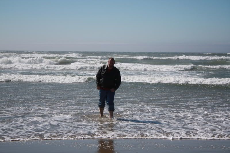
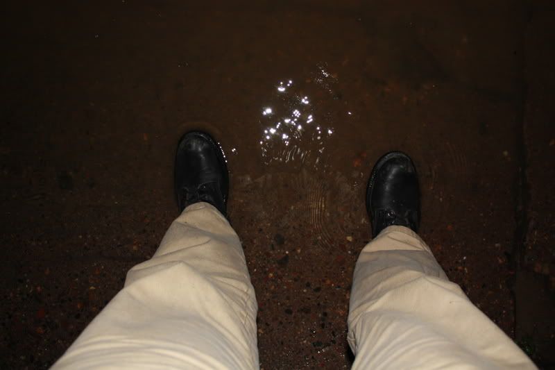
...and, of course, I couldn't pass up the chance to get a shot of me in the Mississippi. Yeah, I know. Its only an inch deep here, but you should see the eddies and currents in this river. No way I'm going deeper.
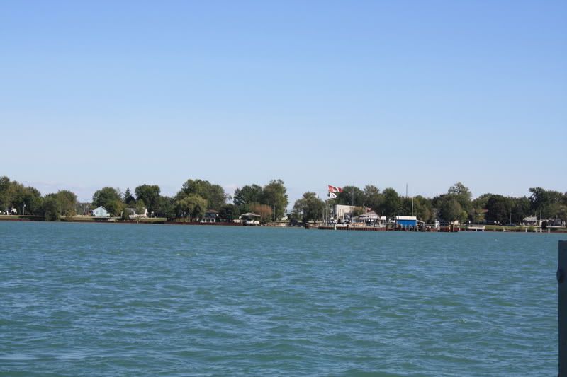
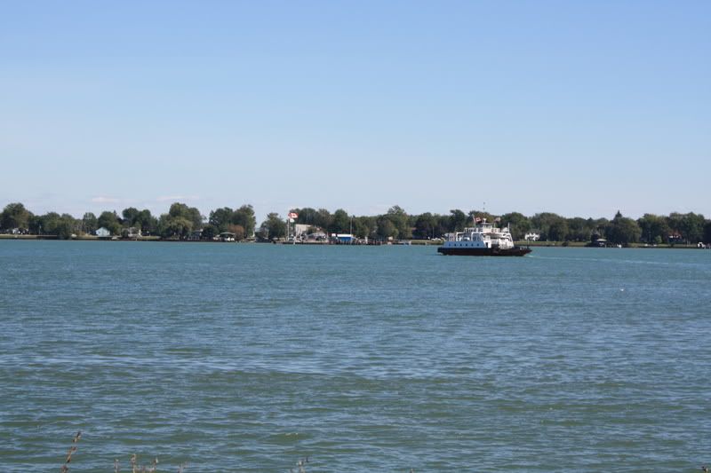 I was somewhat surprised to see a very nice cathedral in Marine City. Its a fairly small town, after all.
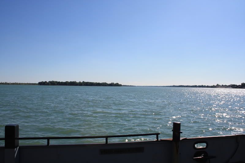
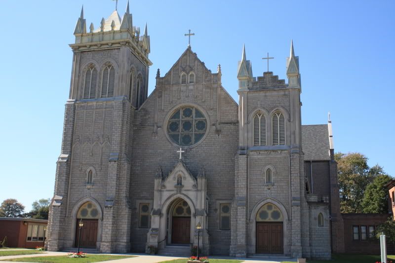 These next few are of the crossing. I waited till the middle of the river, then got one looking back, one looking downriver, and one looking ahead.
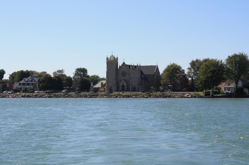
 After crossing, I started north in order to hook up with the 402 towards Toronto. About half way there, in the middle of No and Where, I ran into a traffic jam. Cars were moving at a snails pace for about 2 miles. Upon reaching the cause, I saw three police cars blocking off an intersection for no apparent reason. No accident on the road; There were no businesses around for a crime scene. I can only surmise that they were looking for Hog Goblins, but I evaded them and went on my merry way.
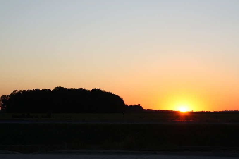

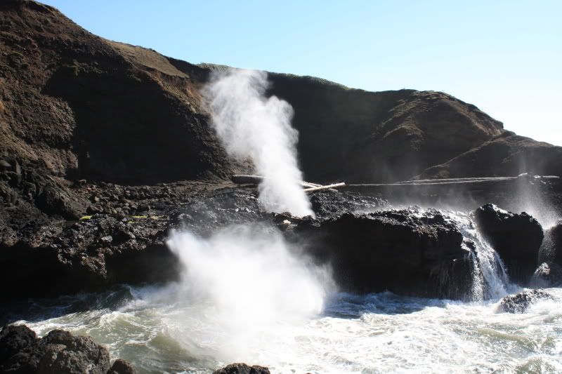
 Looking in the opposite direction from the previous photo, there are some very interesting formations. Rock climbing anyone?
 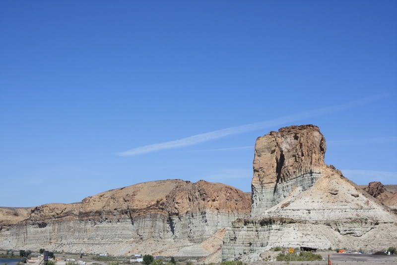 I took this next one about 65 miles later when I stopped to rest my poor aching backside. Needless to say, I'm quite happy that i stopped at this unapproved rest stop instead of the one I came accross a few miles down the road from here. I believe that is an Elk. there was a whole herd of them, but only two came out to investigate.
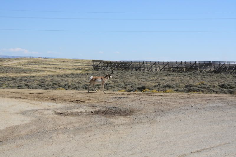
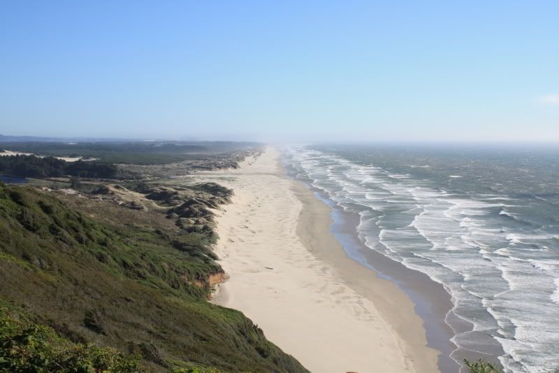
 I stopped in the quaint little town of Sisters for lunch. I could see myself living in a place like this. Small town; not too far from things. I could certainly set up shop and see what happens.
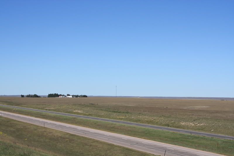
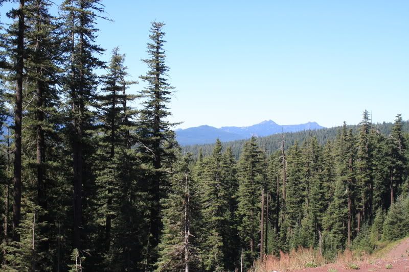
 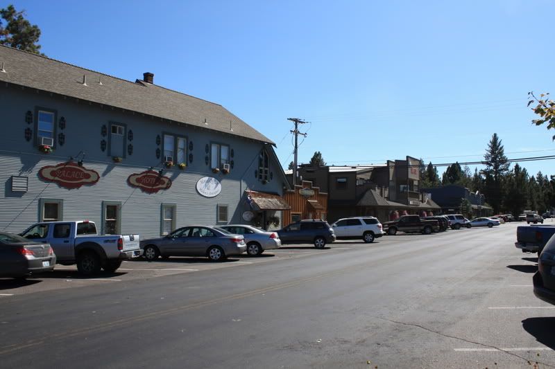 After Sisters, the road took me up onto the high plains. It’s full of Scrub Pine and Sagebrush. There’s also some excellent mountains in the background.
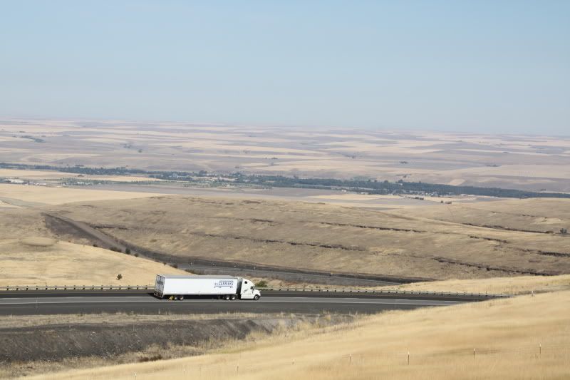
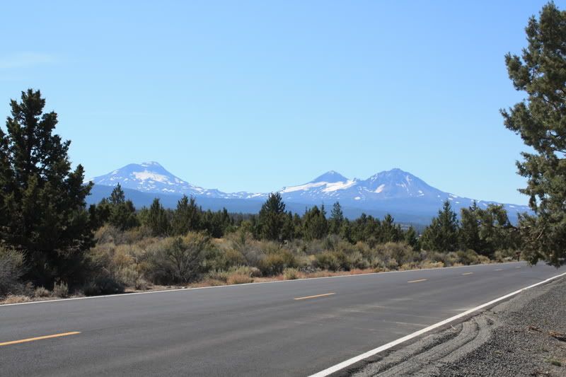 Then, coming off the plains, I followed this river into Ontario OR, which is right on the border of Idaho. The river was very pretty and I wish I could have found a good place to pull over and get you all a pic of the sun setting on the buttes. It was quite spectacular.
 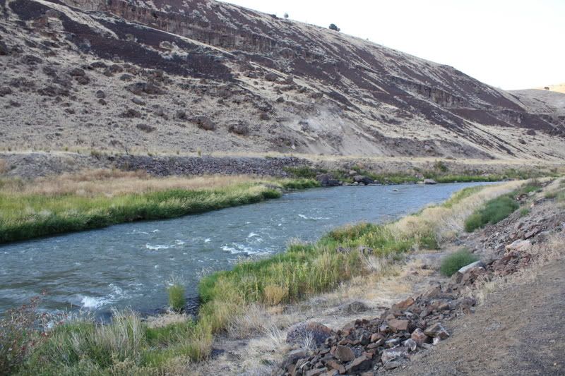 Of lesser, but more annoying spectacle, the last hundred miles into Ontario are a haven for bugs, most of which committed suicide on my person.
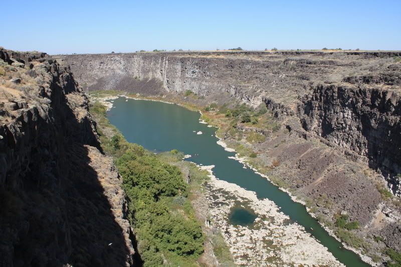
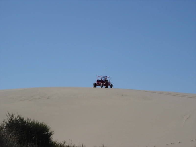
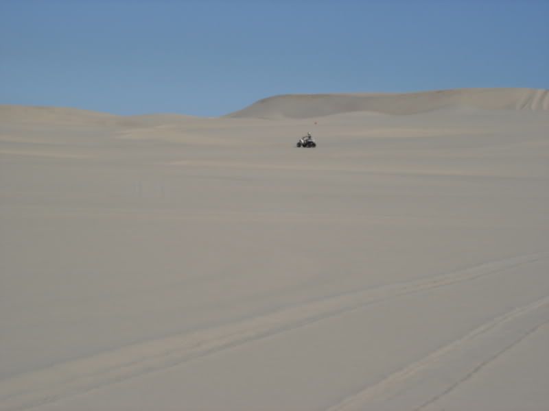
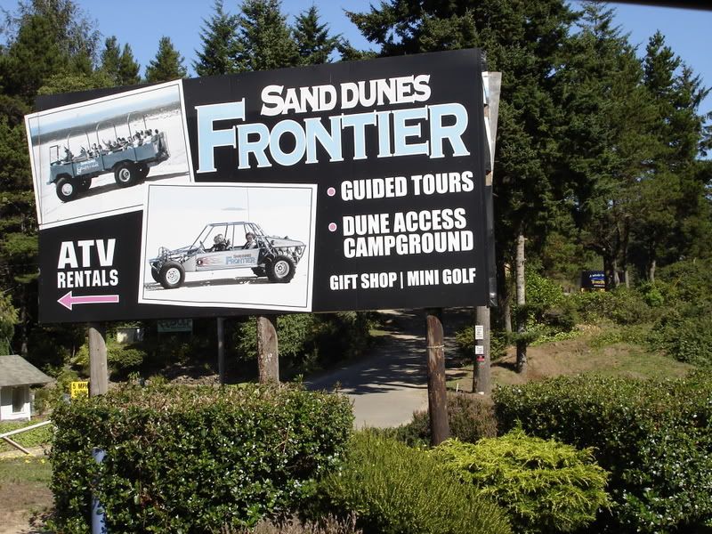 Now, if you know me at all, you know that I was quite excitied to rent one and go blasting through the dunes. Alas, it was not to be. It seems that the rental areas around here look quite harshly on the possibility of their equipment being damaged. In order to rent one for yourself, there is quite a deposit to be made, and they charge more in the eventuality of things like it getting wet, rolling over, or being sat on crooked(I imagine).
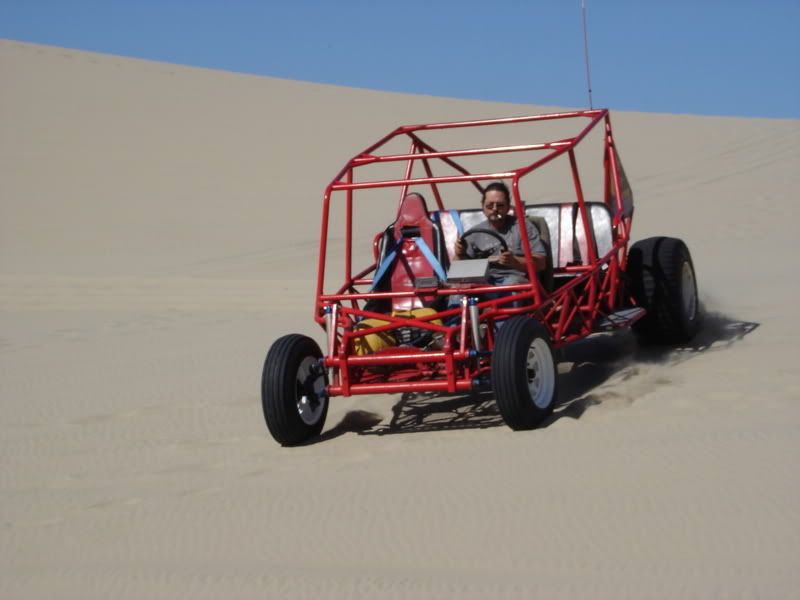
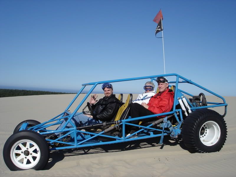 The Crew of the dread bug Dunechaser.
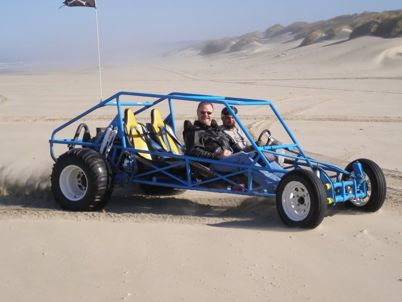
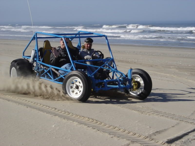
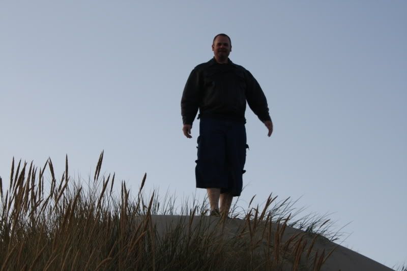
 We gave chase, not realizing that it was a trap. The foul wretch left a sand mine for us.
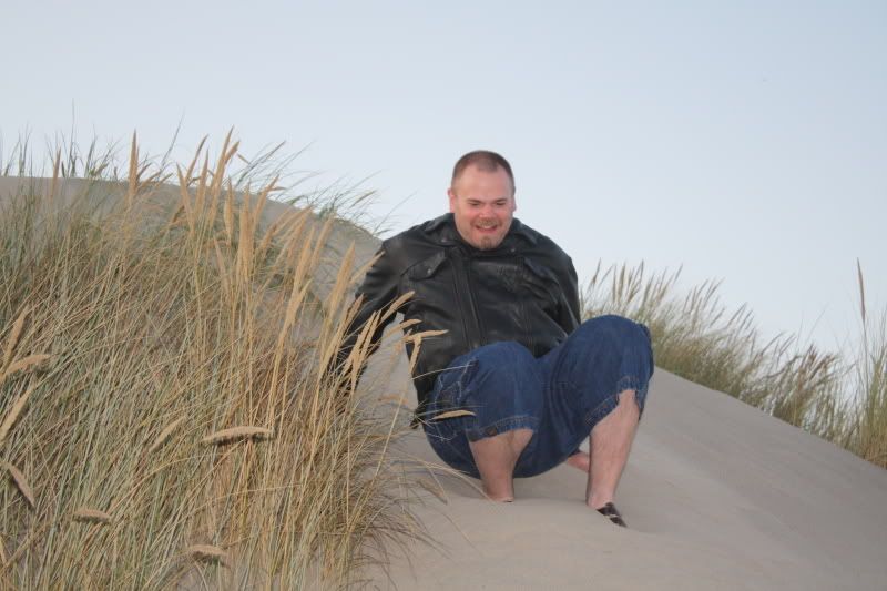
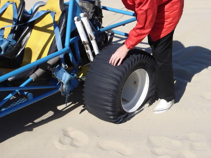 Stranded, with no food or water, we were forced to crawl toward our base. I was afraid I would not make it.
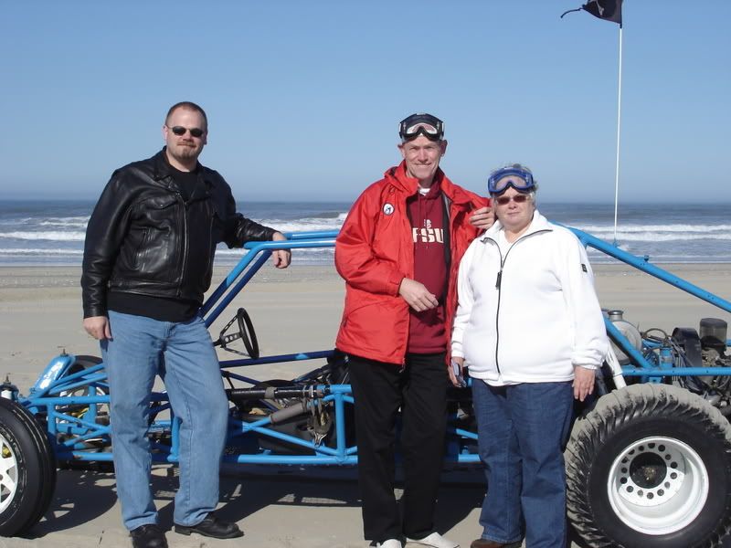
 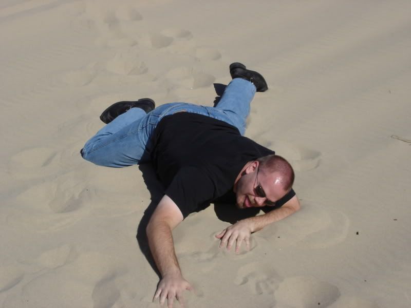 But what is this? The noise of an engine coming over the dunes?